
by Indonesia Archipelago | May 25, 2026
Tanjung Selor stands at the mouth of the Kayan River on the northeastern coast of Borneo at coordinates 2°51′0″N and 117°23′0″E, at an elevation of 24 meters above sea level, covering 677.77 square kilometers across five subdistricts: Tanjung Selor Timur,...
by Indonesia Archipelago | May 25, 2026
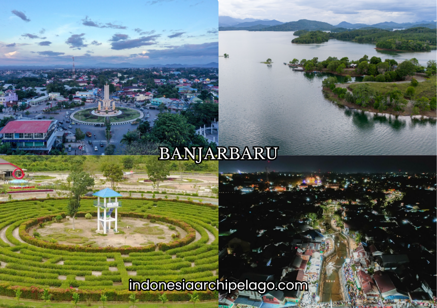
Banjarbaru City sits at the foot of the Meratus Mountains in South Kalimantan Province at coordinates 3°26′32″S and 114°45′45″E, positioned between Banjar Regency to the north, east, and west, and Tanah Laut Regency to the south. The city covers approximately...

by Indonesia Archipelago | May 25, 2026
Palangkaraya City occupies the south-central region of Borneo at coordinates 2°12′36″S and 113°55′12″E, situated between the Kahayan River to the east and the Sabangau River to the west, at an elevation of 5 meters above sea level. The city covers...

by Indonesia Archipelago | May 25, 2026
Bandar Lampung City stands at the southern tip of Sumatra facing Lampung Bay at coordinates 5°27′0″S and 105°16′0″E, covering 183.77 square kilometers across twenty administrative districts expanded from an original thirteen, with coastal lowlands around Teluk Betung...

by Indonesia Archipelago | May 25, 2026
Bengkulu City sits on the southwestern coast of Sumatra, facing the Indian Ocean directly at coordinates 3°47′44″S and 102°15′33″E. The city serves as the provincial capital of Bengkulu Province, covering 151.70 square kilometers divided into four administrative...